Fly down your own route in pixel art — with the buildings standing where they really stand
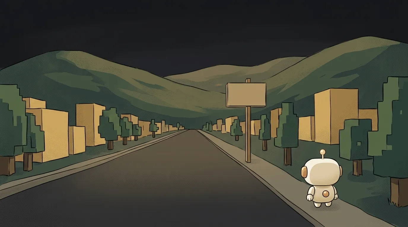
Ask a video generator for "a flight down a road" and you'll get a road. Some road. Convincingly real and existing nowhere: the buildings are made up, the bends are made up, the hills are made up.
On 12 October 2026 Pixel Path landed on GitHub — a skill for your agent that works the other way round. You name two places: from and to. It routes the real trip and bakes the real map into it: buildings stand on their actual footprints from OpenStreetMap, fields and forest are drawn along their real edges, the hills come from elevation data. Then it hands you a page you fly down in first person, turning the scroll wheel.
Your road home. That exact one.
Why this only just got easy
Maps and elevation data were already open. What's new is that an agent does all the gluing — and it doesn't take its own word for it.
- Buildings on their footprints. Every building along the road is laid on its real line: a long frontage becomes a row of different buildings, cracks under three metres are closed, and a backing building stands behind every gap in the street.
- Real ground. Fields, forest, water, car parks and sidewalks are drawn per pixel from the map. The horizon is marched over a 61 × 61 km height grid — with the Earth's curvature.
- The signs are drawn by code, not by a model. That's why the town names, distances, street names and brown landmark signs are exact rather than "letter-shaped".
- The art is generated per region. The agent makes pixel art for buildings and trees separately for each stretch: Georgian Bath and Victorian Bristol don't look the same.
But here's the best part — how it checks itself. The agent paints the sky bright magenta and drives the route: every 75 metres the camera looks straight ahead and 30° to each side. Then it counts the magenta pixels visible through buildings and in the slits between them. It takes the 20 worst frames, looks at them, and redoes the work — until there are no slits left.
What you're building
A flight along your own real route. The ones actually worth showing:
- the commute you know by heart;
- a marathon or a multi-day cycling route you finished;
- a move from one city to another;
- the road from a news story or a book — the one where it all happened.
You get a folder with an index.html. Open it through any static server and you're moving: scroll forward to speed up, back to slow down and then reverse, Space pauses, I shows where you are, M shows a small map.
What you'll learn
- The do → look → fix loop. Here it's taken apart and made visible: magenta sky, a building mask, the 20 worst frames side by side. It's the core move of reliable agents, and this is the easiest way to see it.
- To tell real data from invented data. You can reach the same frame two ways. The difference is whether you can trust it.
- To cost a run before starting it. The skill prints an estimate first and asks which level you want. The habit of "quote first, button second" is worth more than any prompt.
- Open maps. Nominatim finds places, OSRM builds the route, Overpass pulls the buildings. After this you can build your own things on all three.
A starter prompt you can copy
It installs as a plugin — two lines in Claude Code:
/plugin marketplace add jonwheatley/pixel-path
/plugin install pixel-path@pixel-path
Then you just ask. A weak request sends the agent guessing: which level of detail, how much to spend, what any of it is for. A strong one fixes the places, the budget and the order — estimate first.
make a pixel game about a roadThe key line is the second one. "Do not generate art before you show me the quote" turns the paid step into your decision. The third is just honest: in testing, from 10% (Bath) to 34% (Manhattan) of pictures came back cut off or on a background and had to be re-rolled.
What you end up with
A page where you're driving down your own road. The buildings stand where they stand. Around the bend is that bend. The sign carries the real name and the real distance. The hill rises where it actually rises, and beyond it you see a horizon computed from elevation.
From the author's examples: Bath → Bristol at moderate — two regions, 32 pictures, $5.76, 627 moving frames, not one slit in the street walls. Kyoto Station → Kinkaku-ji at sparse — one region, four pictures, 72 cents.
This posts itself: not "a model drew some road" but "here's my commute, drive it yourself".
Being straight about the limits and the money:
- There is a free tier. The
placeholderslevel costs $0: the code draws every picture. The route, buildings, hills and signs are still real, just plainly textured. Start there. - The art costs money. The pixel art is generated through RetroDiffusion: 18 cents a picture (October 2026).
sparseis four pictures per region, 72 cents. The price depends on the number of regions, not the distance, and the levels are nested — moving up only pays for the new pictures. - The README carries an affiliate link. The author says so himself: he gets a referral if you sign up through it. Just know that.
- The key stays in your own terminal.
export RETRODIFFUSION_API_KEY=..., or the Keychain on a Mac. The skill never asks for it and never prints it. Don't paste keys into a chat — any key, ever. - You need Node 18+ and a network. The bake calls Nominatim, OSRM, Overpass, terrain tiles and Wikidata — roughly 20–60 seconds per 10 km of route.
- The self-check needs a browser. Playwright with Chromium and Node 20+ for the screenshots. Without them the layout and art checks still run; the sweep doesn't.
- Leave the credits line alone. It's a condition of the skill: the credit must stay visible wherever you show the flythrough.
- Open it through a server. Double-clicking the file isn't enough — any static server will do.
A weekend plan
- Friday evening. Install the plugin and build your route at
placeholders. It costs nothing, and the road is already yours — drive it and find a bend you recognise. - Saturday. Get a RetroDiffusion key, put a couple of dollars on it, and rebuild the same route at
sparse. The difference in how it looks will surprise you more than the difference in price. - Sunday. Ask for the full self-check and study the 20 worst frames — that's the best lesson in self-checking agents you'll get all weekend. Then record your screen and post your road.
Start with the road you know better than anyone. The moment your actual bend shows up on screen, the difference between "AI drew something" and "AI built me an instrument" stops being abstract.
Short story-lessons, an agent simulator and daily practice — in our mobile app. Free.
Source: Pixel Path on GitHub
Read next

Cut a jet engine in half — and it works out what just happened to it

A $7 board — and AI taps around your iPhone on its own. No Mac, no jailbreak
47 vacation clips — and an agent cuts them into a video on the beat

Build a “send as-is” button — a model that hands you the email, not advice about it

A song where you change one chord — instead of spinning the generator again